


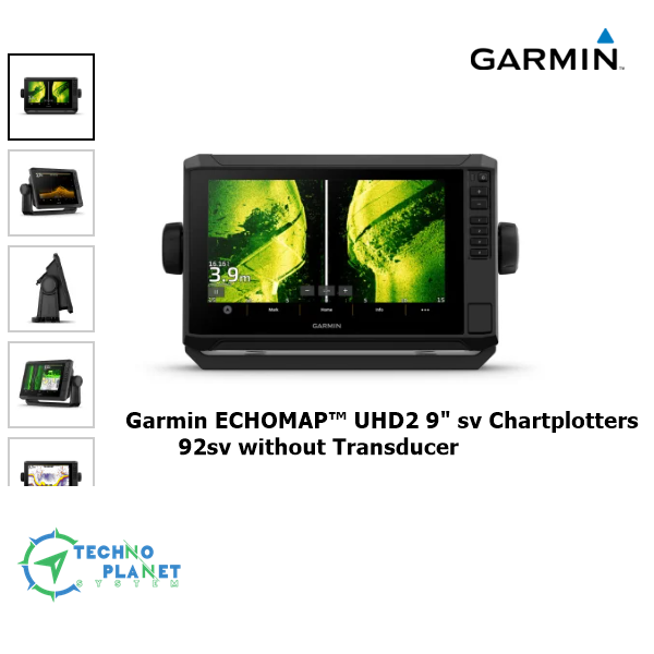

Garmin ECHOMAP UHD2 92sv Chartplotters with GT56UHD-TM Transducer
Original price was: ৳ 260,000.00.৳ 250,000.00Current price is: ৳ 250,000.00.
| Brand | Garmin |
| Model | Echomap UHD2 92SV |
| Display Size | 9 inches |
| User Interface | Touchscreen with Keyed Assist |
| Sonar Type | Ultra-High-Def SideVü, ClearVü and Traditional CHIRP |
| Charts and Maps | Worldwide Basemap |
| Origin | USA |
| Availability | In-Stock |
KNOW THE WATER BETTER THAN A LOCAL
When it comes to catching more fish, they say, “Talk to a local.” With the ECHOMAP UHD2 chartplotter, which offers our best-in-class sonar and mapping and premium touchscreen display with keyed-assist, you’ll know the water even better than they do.
 |
 |
 |
 |
 |
|
The bright 6”, 7” or 9” touchscreen display with keyed-assist is user-friendly and easy to read. |
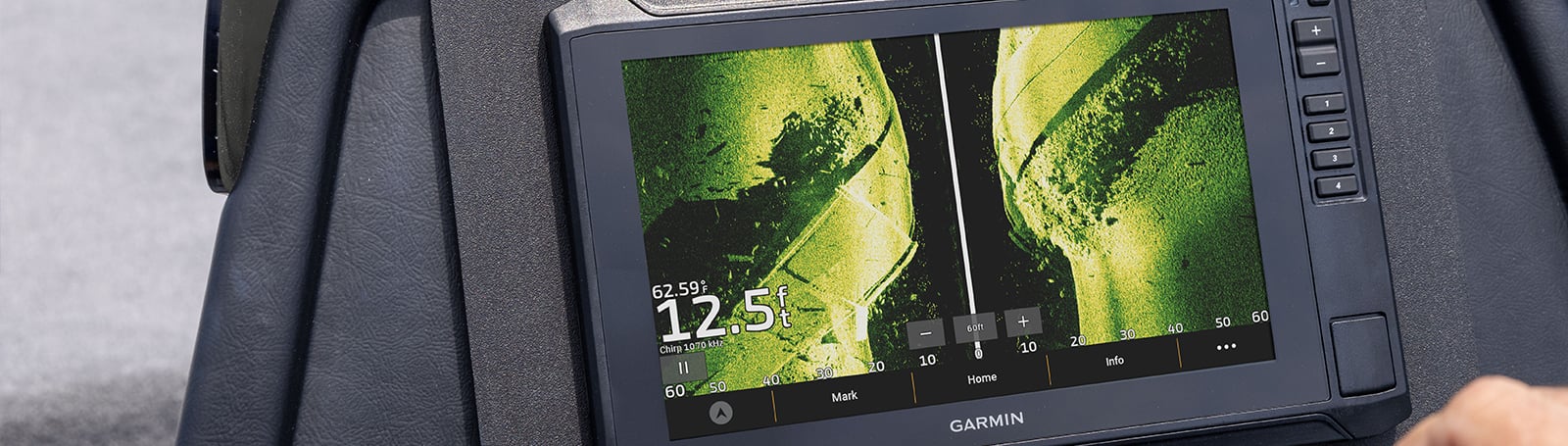
Good things come in threes. Three sonar types, that is: Garmin traditional, ClearVü™ and SideVü™ sonars. |
Improved detail? Check. Distinguished targets? Yep. That’s the beauty of high-contrast vivid color palettes. |
If you’re running another ECHOMAP UHD2 chartplotter, you can wirelessly share sonar, waypoints and routes. |
Want our best in mapping? Who doesn’t? Select chartplotters come with Garmin Navionics+™ mapping. |
General
| Dimension | 10.4″ x 6.5″ x 3.2″ (26.4 x 16.6 x 8.0 cm) |
| Weight | 2.9 lbs (1.3 kg) |
| Water rating | IPX7 |
| Touchscreen | Yes |
| Display Type | WSVGA, TN |
| Display Size | 7.8″ x 4.5″, 9.0″ (19.8 x 11.5 cm, 22.9 cm) |
| Display resolution | 1024 x 600 pixels |
| Mounting Options | Bail or flush |
| Input | Touchscreen with keyed assist |
| Maps & Memory | |
| Accepts Data Cards | 1 microSD™ card; 32 GB maximum size |
| Waypoints | 5,000 |
| Track points | 50,000 |
| Tracks | 50 saved tracks |
| Navigation Routes | 100 |
| Sensors | |
| GPS | Yes |
| GLONASS | Yes |
| Galileo | Yes |
| BeiDou | Yes |
| Has built-in receiver | Yes |
| Receiver | 10 Hz |
| NMEA 2000 Compatible | Yes |
| Supports WAAS | Yes |
| Supports multi-band, multi-constellation GPS | Yes |
| Built-in Maps | |
| Built-in Auto Guidance+ | yes (downloadable via ActiveCaptain app) |
| Garmin Navionics+ (inland and coastal) | yes (see Additional) |
| Garmin Navionics+ (coastal) | yes (see Additional) |
| Garmin Navionics+ (inland) | yes (see Additional) |
| Tide tables | yes (see Additional) |
| Optional Map Support | |
| BlueChart g3 | Yes |
| BlueChart g3 Vision | Yes |
| LakeVü g3 | Yes |
| LakeVü g3 Ultra | Yes |
| Garmin Navionics+™ | Yes |
| Garmin Navionics Vision+™ | Yes |
| TOPO 100K | Yes |
| Standard mapping | Yes |
| Garmin Quickdraw Contours | Yes |
| Chartplotter Features | |
| AIS | Yes |
| DSC | Yes |
| Supports Fusion-Link™ compatible radios | Yes |
| ActiveCaptain® compatible | Yes |
| Sailing features | Yes |
| Electrical Features | |
| Power Input | 9 to 18 Vdc |
| Typical current draw at 12 Vdc | 1.72 A |
| Maximum current draw at 12 Vdc | 3.5 A |
| Maximum power usage at 10 Vdc | 20.7W |
| Sonar Features | |
| Displays sonar | Yes |
| Power output | 500 W |
| Traditional sonar (dual frequency/beam) | Built-in (single channel CHIRP, 50/77/83/200 kHz, L, M, H CHIRP) |
| ClearVü | Built-in 260/455/800/1000/1200 kHz |
| SideVü | Built-in 260/455/800/1000/1200 kHz |
| Panoptix™ sonar | Yes |
| LiveScope | Yes |
| Networking & Connections | |
| NMEA 2000® ports | Yes |
| Garmin Marine Network Ports | 1 |
| 12-pin transducer ports | 1 |
| Bluetooth® pairing | Yes |
| ANT® (connectivity) | Yes |
| Garmin Wi-Fi network (local connection) | Yes |
| Additional | |
| Additional |
Tide tables: 93sv, 94sv, 95sv |
| in the box |
With Transducer
|


Reviews
There are no reviews yet.